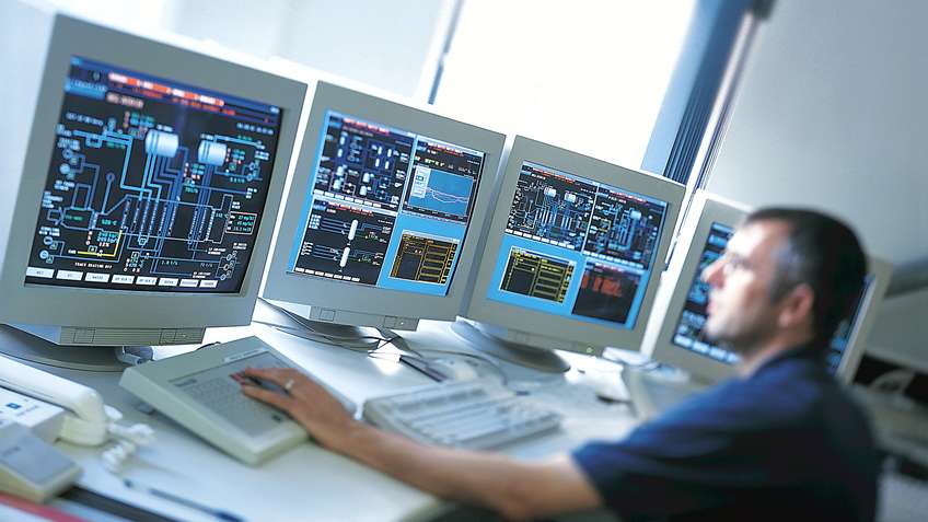
Geospatial analytics refers to the extraction of meaningful information from geospatial data related to locations on Earth. It involves integrating, analyzing and visualizing location-based big data from sources like GPS, GIS, mapping software and earth observation. By leveraging cutting-edge technologies such as remote sensing, AI and cloud computing, geospatial analytics helps gain new perspectives into spatial relationships and patterns. It provides valuable insights for a wide range of industries from logistics and transportation to urban planning and infrastructure development.
Importance of Location in Decision Making
Location is an invaluable context that influences nearly every human activity and business process. Therefore, considering the geographic dimension has become increasingly important for informed decision making across various domains. Geospatial Analytics allows organizations to leverage the power of location by analyzing very large datasets tagged with geographic coordinates. It helps correlate operational data with maps to discover hidden relationships between events occurring in space and time. This spatial context enables more targeted strategies aligned with real-world conditions on the ground.
Applications in Urban Planning
Geospatial analytics finds many applications in urban planning and smart city developments. City administrators can analyze patterns of foot traffic, transit usage, crime incidents and pollution levels to identify problem areas requiring attention. They can evaluate the impact of new infrastructure projects like roads, public transport networks or green spaces using geospatial modeling and simulation tools. This assists optimizing the allocation of civic amenities to best serve residents. Visualizing socio-economic indicators on dynamic dashboards also helps monitor the effectiveness of urban policies and direct resources where most needed.
Benefits for Logistics and Transportation
The logistics and transportation industry is revolutionized by incorporating geospatial intelligence. Fleet managers gain real-time visibility into vehicle movements and routes using GPS tracking. Analytics of route data over time helps identify inefficiencies and bottlenecks to streamline operations. Dispatch planning is optimized by analyzing variables like traffic conditions, weather, shift schedules and package deliveries. Transportation authorities leverage location analytics to address issues like congestion hotspots, alternative commute patterns and usage of public transit systems. This supports research for transportation master planning and infrastructure expansion projects.
Applications in Natural Resource Management
Geospatial Analytics profoundly impact natural resource management and environmental monitoring. Satellite imagery and aerial mapping combined with IoT sensor data help track changes to ecosystems, vegetation, wildlife habitats and natural calamities over lengthy periods. This quantitative analysis aids evidence-based policymaking related to conservation, land use, wildlife protection, disaster response and climate resilience. Location intelligence is pivotal for managing precious resources like forests, water bodies, minerals and ensuring their sustainable utilization for future generations. It plays a key role in combating challenges like deforestation, pollution, natural disasters and adapting to climate change impacts.
Role in Emergency Response and Public Safety
During emergencies like floods, wildfires, earthquakes or man-made disasters, geospatial solutions become critical for coordination of relief and rescue operations. Live tracking of emergency vehicles and personnel allows dispatching them to locations in real-time based on current needs. Drones and satellite imagery help assess damage extent and cut-off areas for prioritizing aid and infrastructure restoration. Spatial data and visualizations empower first responders with situational awareness to safeguard public safety. Location analytics also plays an important preventive role by analyzing crime patterns to identify vulnerable areas and enable focused enforcement and community outreach. It boosts preparedness, rapid response, accountability and overall disaster management.
Applications in Agriculture and Farming
Modern agriculture is increasingly relying on geospatial tools for optimized operations management and higher productivity. Technologies like precision agriculture employ variable rate fertilizer/pesticide application based on soil nutrition maps generated from satellite and drone imagery. This minimizes inputs, curbs wastage and protects the environment. Automated irrigation systems leverage weather and soil moisture data to water crops only as needed, conserving precious water resources. Livestock monitoring uses GPS trackers for grazing pattern analysis and health tracking. Post-harvest, warehouse and transportation logistics leverage spatial algorithms for efficient inventory, traceability and timely delivery compliance. Geospatial capabilities thus empower smarter farming for increased yields, cost savings and sustainability.
Role in Retail and Business Intelligence
Location analytics finds broad applicability across retail, real estate, insurance and various other commercial domains. Store networks can analyze customer visit patterns, shopping routes, catchment areas and demographics to optimally locate new outlets or renovate existing stores. Footfall patterns inside malls provide deep customer insights for interior layout design, merchandising strategies and targeted promotional campaigns. Retailers gain competitive edge leveraging geospatial intelligence to profile customers, anticipate demand and model supply chain routes most efficiently. Companies also use location-based monitoring of field assets and work crews to maximize productivity and utilization of resources. Geospatial business intelligence delivers a holistic understanding of markets to aid critical decisions across functions.
Unlocking Spatial Value through Analytics
As location data snowballs from multiple sources, geographical context is increasingly recognized as the ‘fifth dimension’ for shaping strategies in the digital era. With higher computing power, scalable solutions and mature geospatial technologies, advanced spatial analytics is helping unlock immense value from raw location data across industries. Its impact ranges from improved operational efficiencies, productivity and cost optimization to revolutionary innovations transforming user experiences and facilitating evidence-based policymaking. As location continues proliferating across organizational ecosystems and permeating every aspect of human lives, geospatial analytics will undoubtedly become a core business capability augmenting decision-making capabilities across functions.
*Note:
1. Source: Coherent Market Insights, Public sources, Desk research
2. We have leveraged AI tools to mine information and compile it.

